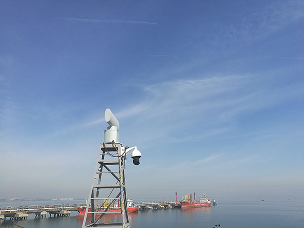
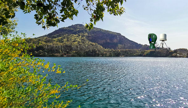
The coastal surveillance radar have functions of detecting and tracking sea/lake targets. It can detect moving or stationary ship targets in offshore / lakeshore waters within a range of 16 km. Radar uses frequency hoping, pulse compression, constant false alarm (CFAR) target detection, automatic clutter cancellation, multi-target tracking and other advanced radar technologies, even in harsh sea conditions, radar can still search sea (or lake) surface for small vessel targets (such as small fishing boats). According to the target tracking information and ship location information provided by the coastal surveillance radar, the operator can select the ship target which needs to be concerned and guide the photoelectric imaging equipment to aim at the ship target to carry out remote visual confirmation of the ship target.